Using EM mapping equipment is a great way to identify soil constraints and issues.
Ground-based electromagnetic surveys (EM) and radiometric surveys are a relatively fast way to map your paddocks.
Information from these surveys can then be used to assist in ground truthing the data to provide correction measures for the soil/paddocks.
EM surveys measure apparent soil electrical conductivity (ECa), which is a indirect measure of salinity, and an indicative measurement of soil texture and moisture. Higher EM readings during a survey come from more moisture, clay or salts.
Most agricultural EM surveys now use dual-EM, which combine the ECa readings from two depths of 0.5m and 1.5m.
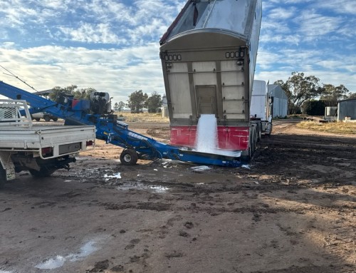
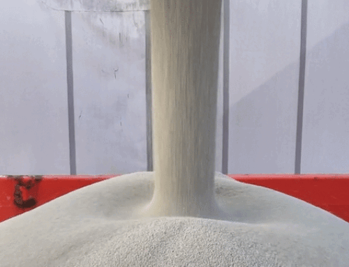
Pacific Fertiliser has soil mapping equipment, but we also have high tech spreaders capable of using variable rate maps from EM surveys for ameliorant application to treat issues found from the dual-EM surveys and ground truthing.